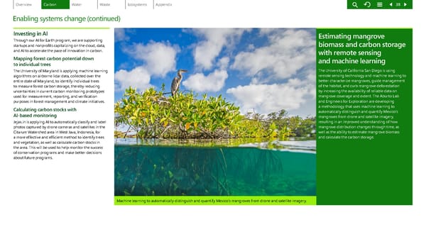
low-res image Enabling systems change (continued) Investing in AI Through our AI for Earth program, we are supporting startups and nonprofits ca pitalizing on the cloud, data, and AI to accelerate the pace o f innovation in carbon. Mapping forest carbon potential down to individual trees The University of Maryland is applying machine learning algorithms on airborne lidar data, collected over the entire state of Maryland, to identify individual trees to measure forest carbon storage, thereby reducing uncertainties in current carbon monitoring prototypes used for measurement, rep orting, and verification purposes in forest managemen t and climate initiatives. Calculating carbon stocks with AI-based monitoring Jejak.in is applying AI to automatically classify and label photos captured by drone ca meras and satellites in the Citarum Watershed area in W est Java, Indonesia, for a more effective and efficient method to identify trees and vegetation, as well as ca lculate carbon stocks in the area. This will be used to help monitor the success of conservation programs and make better decisions about future programs. Machine learning to automatically distinguish and quantify Mexico’s mangroves from drone and satellite imagery. Estimating mangrove biomass and carbon storage with remote sensing and machine learning The University of California San Diego is using remote sensing technology and machine learning to better characterize mangroves, guide management of the habitat, and curb mangrove deforestation by increasing the availability of reliable data on mangrove coverage and extent. The Aburto Lab and Engineers for Exploration are developing a methodology that uses machine learning to automatically distinguish and quantify Mexico’s mangroves from drone and satellite imagery, resulting in an improved understanding of how mangrove distribution changes through time, as well as the ability to estimate mangrove biomass and calculate the carbon storage. 38
 Environmental Sustainability Report | Microsoft Page 37 Page 39