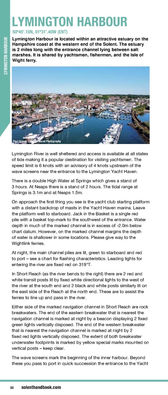
LYMINGTON HARBOUR 50º45’.10N, 01º31’.40W (ENT) Lymington Harbour is located within an attractive estuary on the Hampshire coast at the western end of the Solent. The estuary is 2 miles long with the entrance channel lying between salt marshes. It is shared by yachtsmen, fishermen, and the Isle of Wight ferry. YMINGTON HARBOUR L Paul Graves - Vertigo Aerial Photography Lymington River is well sheltered and access is available at all states of tide making it a popular destination for visiting yachtsmen. The speed limit is 6 knots with an advisory of 4 knots upstream of the wave screens near the entrance to the Lymington Yacht Haven. There is a double High Water at Springs which gives a stand of 3 hours. At Neaps there is a stand of 2 hours. The tidal range at Springs is 3.1m and at Neaps 1.5m. On approach the first thing you see is the yacht club starting platform with a distant backdrop of masts in the Yacht Haven marina. Leave the platform well to starboard. Jack in the Basket is a single red pile with a basket top-mark to the southwest of the entrance. Water depth in much of the marked channel is in excess of -2.0m below chart datum. However, on the marked channel margins the depth of water is shallower in some locations. Please give way to the Wightlink ferries. At night, the main channel piles are lit, green to starboard and red to port – see a chart for flashing characteristics. Leading lights for entering the river are fixed red on 319°T. In Short Reach (as the river bends to the right) there are 2 red and white transit posts lit by fixed white directional lights to the west of the river at the south end and 2 black and white posts similarly lit on the east side of the Reach at the north end. These are to assist the ferries to line up and pass in the river. Either side of the marked navigation channel in Short Reach are rock breakwaters. The end of the eastern breakwater that is nearest the navigation channel is marked at night by a beacon displaying 2 fixed green lights vertically disposed. The end of the western breakwater that is nearest the navigation channel is marked at night by 2 fixed red lights vertically disposed. The extent of both breakwater underwater footprints is marked by yellow special marks mounted on vertical posts – keep clear. The wave screens mark the beginning of the inner harbour. Beyond these you pass to port in quick succession the entrance to the Yacht 88 solenthandbook.com
 Solent Handbook & Directory April 2023- March 2024 Page 87 Page 89