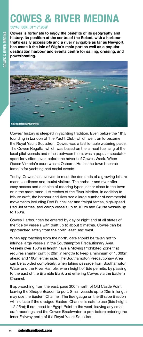
COWES & RIVER MEDINA 50º46’.08N, 01º17’.95W Cowes is fortunate to enjoy the benefits of its geography and history. Its position at the centre of the Solent, with a harbour that’s easily accessible and a river navigable as far as Newport, has made it the Isle of Wight’s main port as well as a popular destination harbour and events centre for sailing, cruising, and powerboating. COWES & RIVER MEDINA Cowes Harbour, Paul Wyeth Cowes’ history is steeped in yachting tradition. Even before the 1815 founding in London of The Yacht Club, which went on to become the Royal Yacht Squadron, Cowes was a fashionable watering place. The Cowes Regatta, which was based on the annual licensing of the local pilot vessels and races between them, was a popular spectator sport for visitors even before the advent of Cowes Week. When Queen Victoria’s court was at Osborne House the town became famous for yachting and social events. Today, Cowes has evolved to meet the demands of a growing leisure marine audience and tourist visitors. The harbour and river offer easy access and a choice of mooring types, either close to the town or in the more tranquil stretches of the River Medina. In addition to leisure craft, the harbour and river see a large number of commercial movements including Red Funnel car and freight ferries, high-speed Red Jet ferries, and cargo vessels up to 100m and Cruise vessels up to 150m. Cowes Harbour can be entered by day or night and at all states of the tide by vessels with draft up to about 3 metres. Cowes can be approached safely from the north, east, and west. When approaching from the north, care should be taken not to infringe large vessels in the Southampton Precautionary Area. Vessels over 150m in length have a Moving Prohibited Zone that requires smaller craft (< 20m in length) to keep a minimum of 1, 000m ahead and 100m either side. The Southampton Precautionary Area can be avoided completely, when taking passage from Southampton Water and the River Hamble, when height of tide permits, by passing to the east of the Bramble Bank and entering Cowes via the Eastern Channel. If approaching from the east, pass 300m north of Old Castle Point leaving the Shrape Beacon to port. Small vessels up to 20m in length may use the Eastern Channel. The tide gauge on the Shrape Beacon will indicate if the dredged Eastern Channel is safe to use (tide height + 2.25m); if not, head for Egypt Point to the west, leaving any small craft moorings and the Cowes Breakwater to port before entering the Inner Fairway north of the Royal Yacht Squadron. 74 solenthandbook.com
 Solent Handbook & Directory April 2023- March 2024 Page 73 Page 75