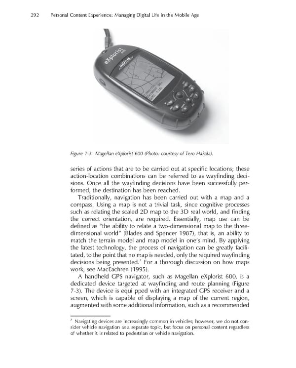
292 Personal Content Experience: Managing Digital Life in the Mobile Age Figure 7-3. Magellan eXplorist 600 (Photo: courtesy of Tero Hakala). series of actions that are to be carried out at specifi c locations; these action-location combinations can be referred to as wayfi nding deci- sions. Once all the wayfi nding decisions have been successfully per- formed, the destination has been reached. Traditionally, navigation has been carried out with a map and a compass. Using a map is not a trivial task, since cognitive processes such as relating the scaled 2D map to the 3D real world, and fi nding the correct orientation, are required. Essentially, map use can be defi ned as “the ability to relate a two-dimensional map to the three- dimensional world” (Blades and Spencer 1987), that is, an ability to match the terrain model and map model in one’s mind. By applying the latest technology, the process of navigation can be greatly facili- tated, to the point that no map is needed, only the required wayfi nding 7 decisions being presented. For a thorough discussion on how maps work, see MacEachren (1995). A handheld GPS navigator, such as Magellan eXplorist 600, is a dedicated device targeted at wayfi nding and route planning (Figure 7-3). The device is equi pped with an integrated GPS receiver and a screen, which is capable of displaying a map of the current region, augmented with some additional information, such as a recommended 7 Navigating devices are increasingly common in vehicles; however, we do not con- sider vehicle navigation as a separate topic, but focus on personal content regardless of whether it is related to pedestrian or vehicle navigation.
 Personal Content Experience Page 315 Page 317