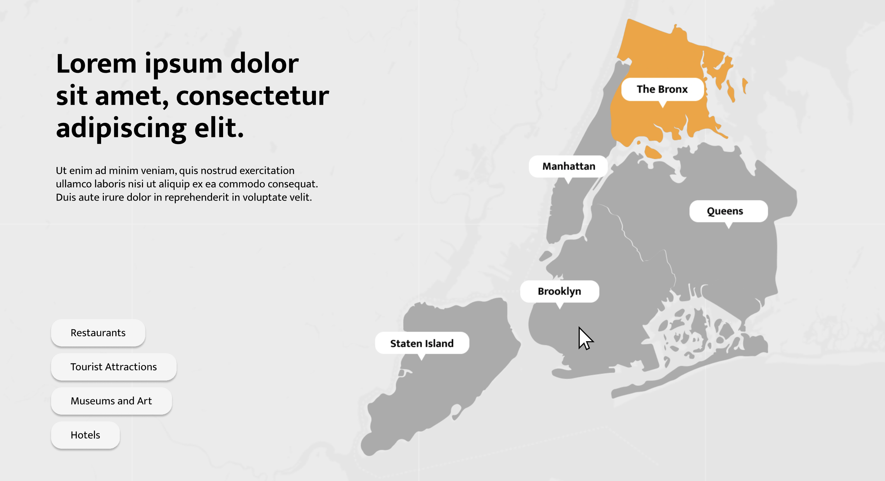
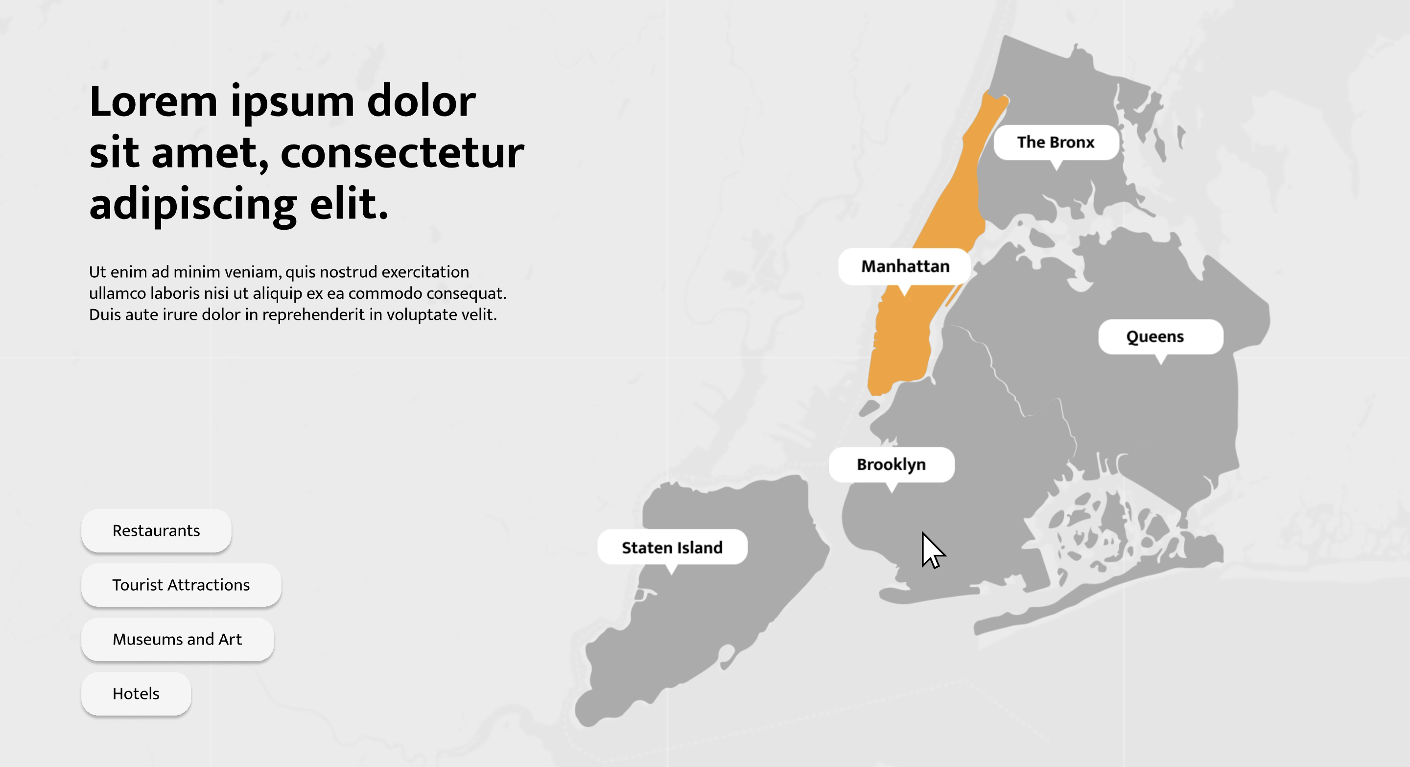
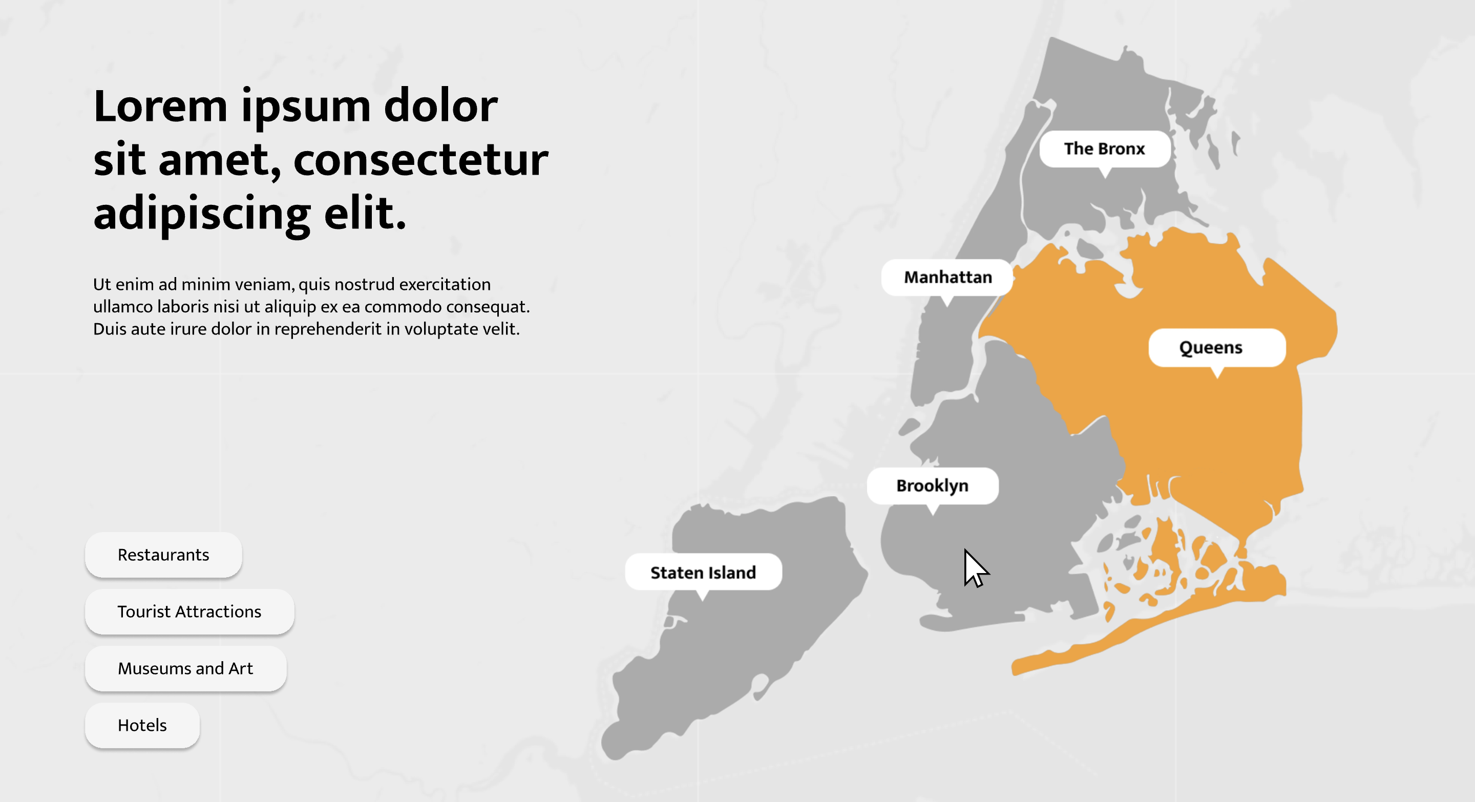
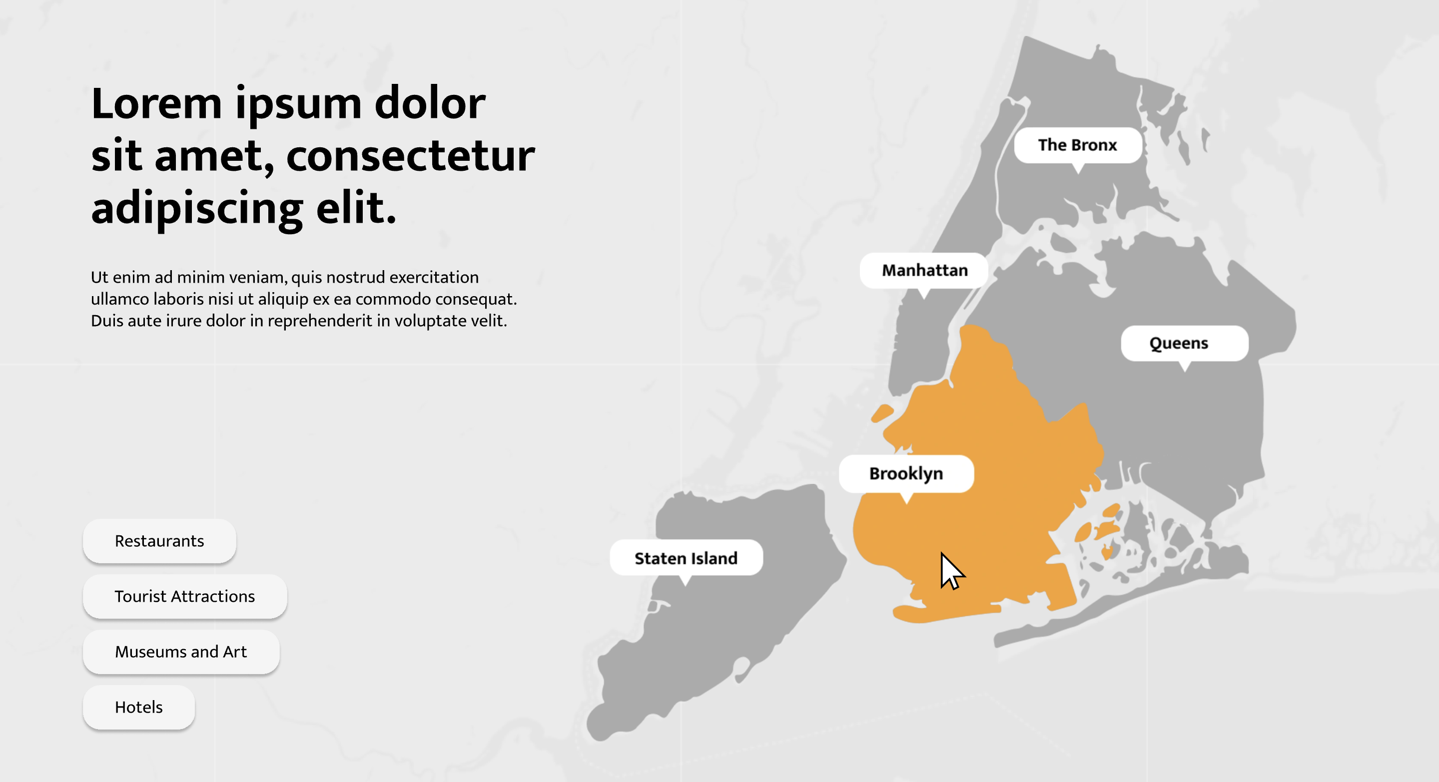
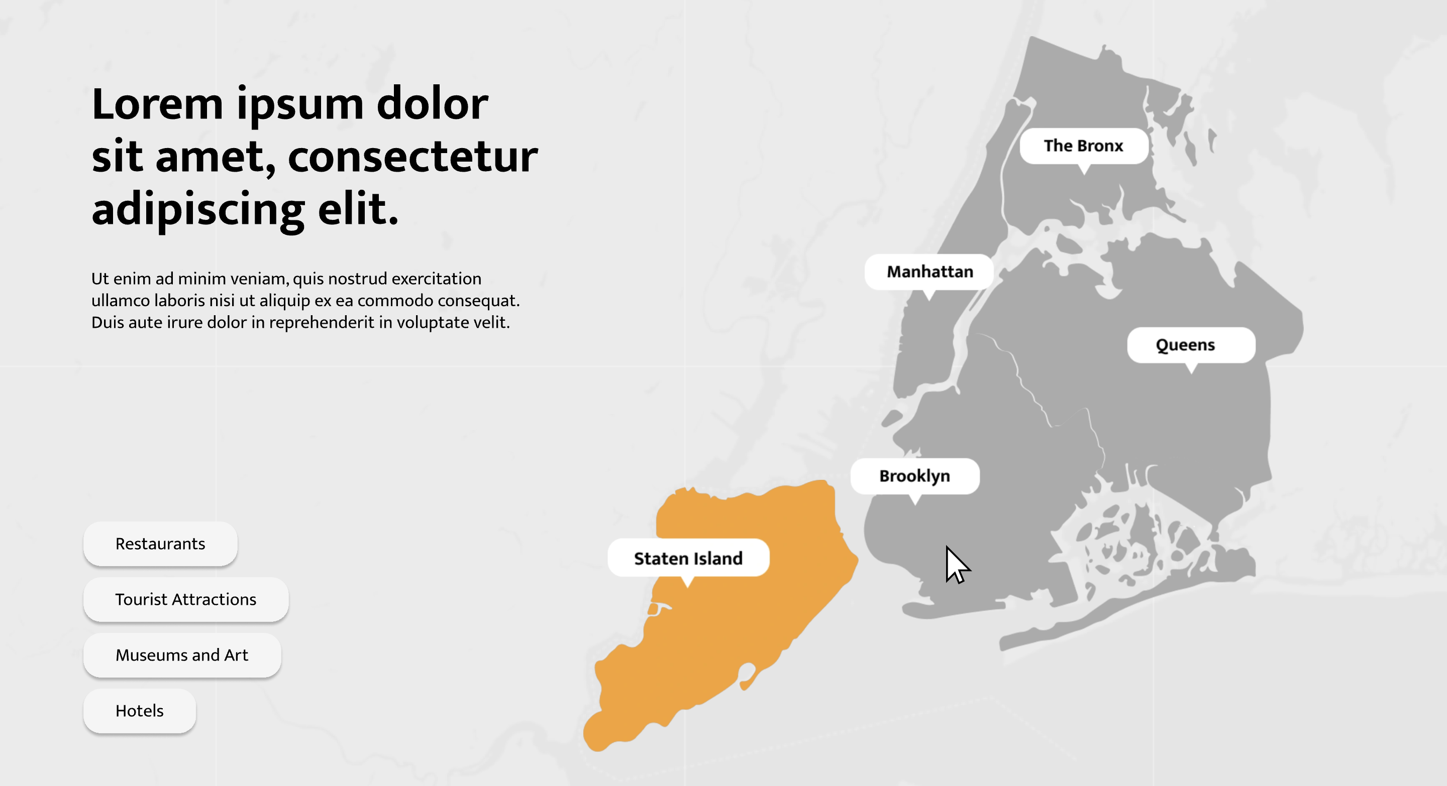
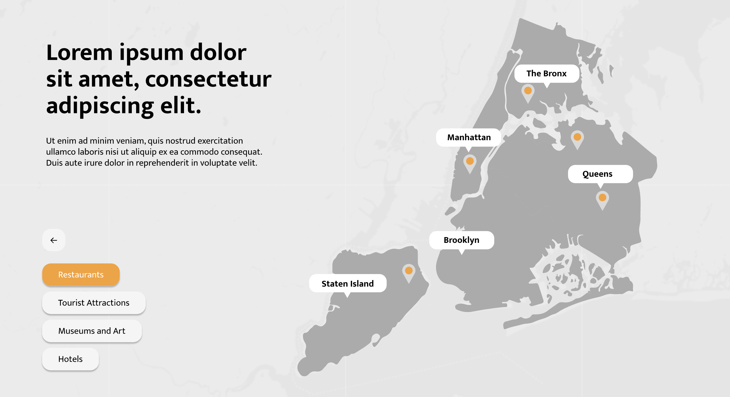
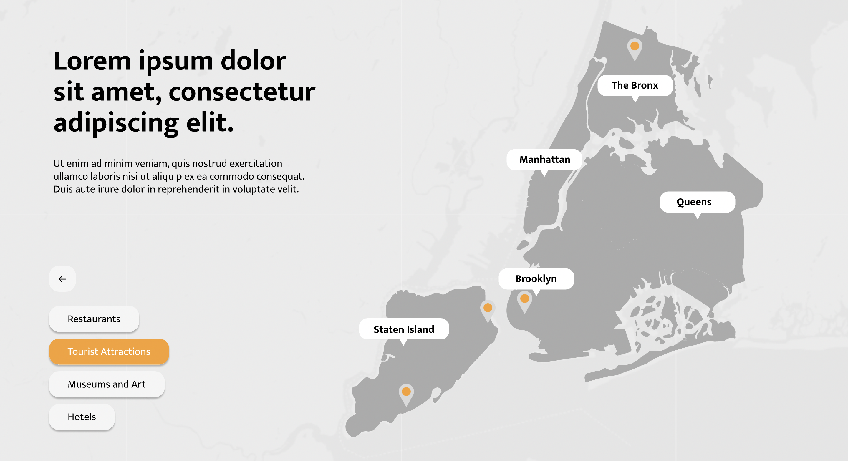
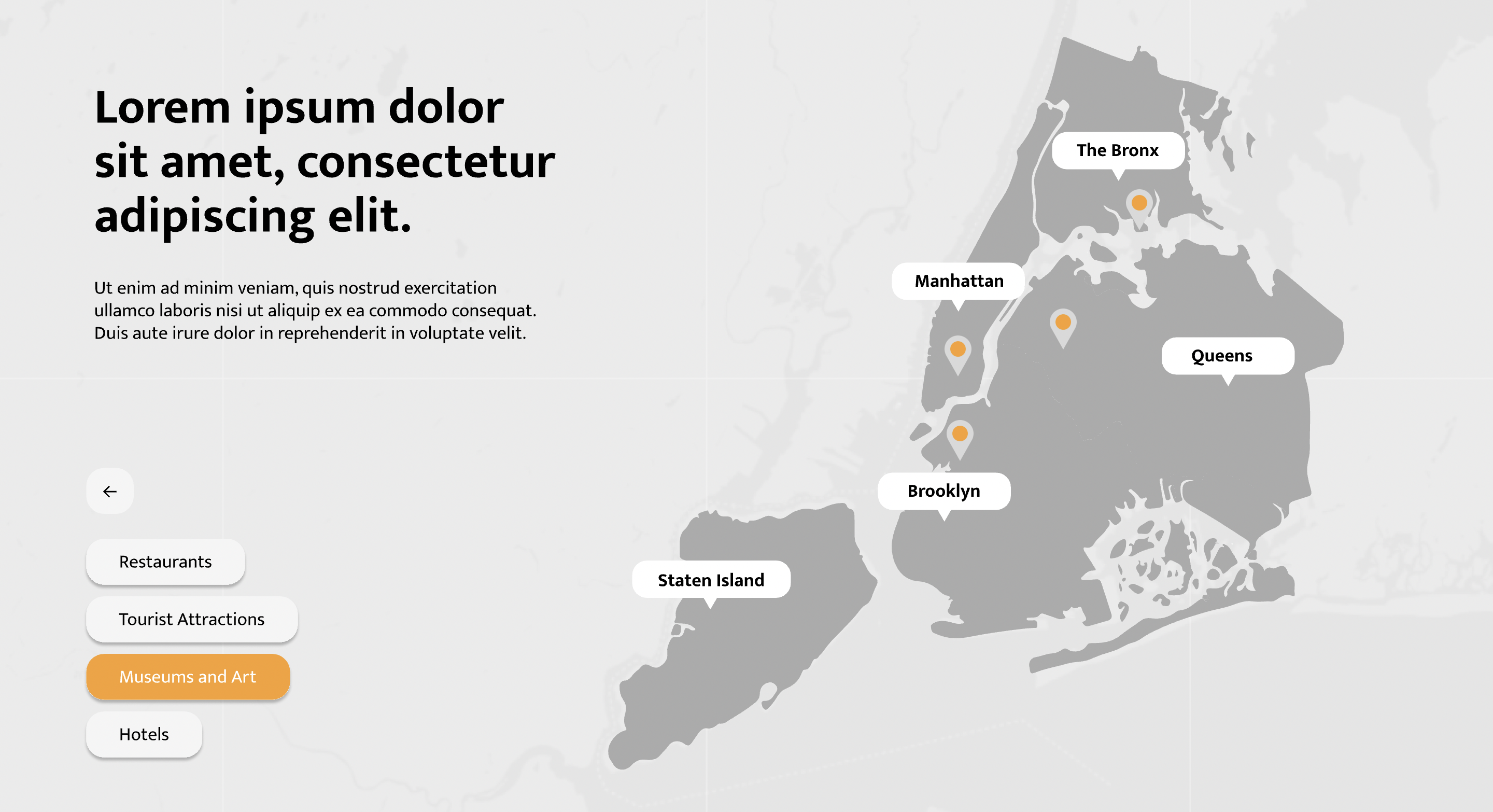
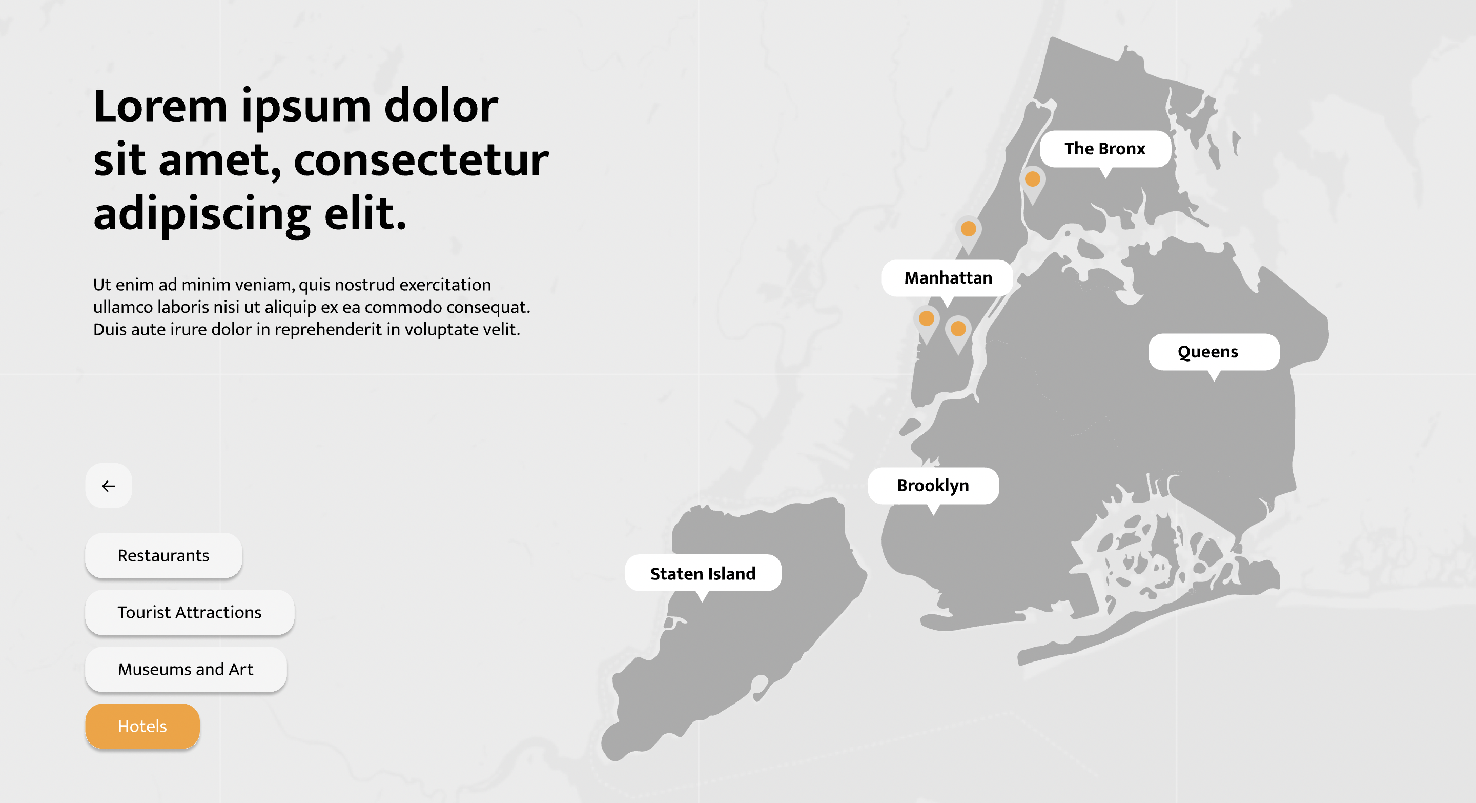
Interactive Map
The Interactive Map Template is designed to help you create engaging and informative presentations related to geography, travel, or global topics. Whether you’re showcasing market analysis, teaching geography, or presenting cultural insights, these templates offer visually stunning and interactive components.
Key Components:
Customization Options:
- PowerPoint (PPTX): Ideal for offline customization and presentation.
- Google Slides: Collaborate with colleagues and edit your map content online.
- PDF: Share a polished and printable version of your map-rich materials.
Map Varieties:
- Choose from a wide range of world maps, regional maps, or thematic maps.
- Highlight specific countries, continents, or data points.
Interactive Elements:
- Use clickable markers to reveal additional information.
- Incorporate icons, labels, and legends for clarity.
Application Scenarios:
- Business Expansion: Visualize market reach, target regions, or distribution networks.
- Educational Materials: Teach geography, cultural diversity, or historical events.
- Travel Itineraries: Showcase destinations, routes, and travel tips.
Remember:
Interactive maps add depth and engagement to your content. Let the Interactive Map Template be your guide across continents! 🌎🗺️🚀
Feel free to download and tailor this template to suit your specific needs. Let’s explore the world together! 🌟🌐.